

Spain has been battered by Storm Filomena , which brought humid southerly winds and collided with a layer of cold air displaced from the Arctic. The clash of these two air masses has generated historic snowfall across the Iberian Peninsula.
In this article we are going to tell you everything in summary about the predictions, causes and consequences of the storm Filomena.
Predictions of the storm Filomena

Weather satellites had already detected the movement of air masses coming from the south and the north. When a large amount of dry, cold air encounters warmer, more humid air, a low-pressure system forms due to the difference in pressure. The drop in pressure has generated impressive snowfall across the entire peninsula. Snow has fallen in very low-lying areas where this type of precipitation is not usually seen. From now on, we will also see a new polar front bringing lower temperatures, which will cause the snow to freeze and last for days.
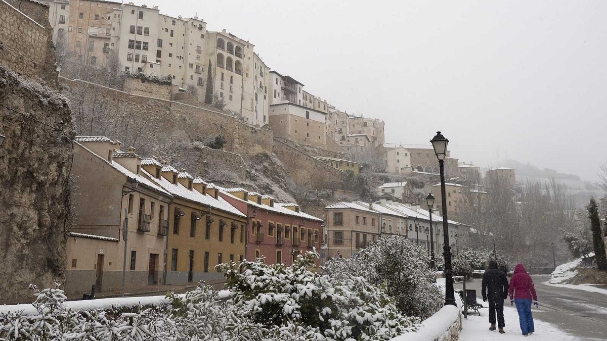
Over the weekend, Spain experienced snowfalls unlike anything ever seen before. These snowfalls brought Madrid and other provincial capitals to a standstill, leaving a blanket of ice that covered almost the entire Iberian Peninsula. This type of storm created an emergency situation due to the lack of mobility in urban centers. The State Meteorological Agency's forecast indicated that a series of circumstances combined to create a perfect storm with Storm Filomena. You can also consult historical snowfall records for Madrid for a broader perspective.
Snowfall and frost

The southern storm brought heavy rainfall over several days, giving way to a period of clear skies but extremely low temperatures. This wasn't caused by the rain front stopping, but rather an event separate from the storm itself. This atmospheric condition, perfectly combined with Storm Filomena, transformed Spain into a snow-covered region for a time . Thanks to these atmospheric conditions, the necessary conditions were maintained for the snow to persist for several days.
After the unusual snowfall that occurred at the end of the past, a cold wave has come that has marked temperatures below 10 degrees in many places. In Madrid temperature values of -10 degrees have been reached. These values have not been seen since January 16, 1945 when temperatures reached -11 degrees. The intense night frosts and the cold daytime environment have favored the persistence of the snow and ice cover in many areas during the week.
And there is a whole sum of factors that have made the snow remain throughout the week. Let's see what these factors are:
- The anticyclone drags the rivers of the north pole towards the peninsula. This anticyclone is responsible for leaving the skies clear, the wind almost completely reduced and the frigid daytime environment with temperatures approaching 0 degrees.
- Long duration of the season nights. As we know, winter nights are longer than summer and it is more prone to have lower temperatures for longer due to the lack of the incidence of solar rays. With these lower temperatures the soil has cooled with strong intensity.
- Freshly fallen snow reflects the sun. Thanks to the fact that snow is able to reflect sunlight, it prevents the ground from heating up so easily and enhances an effect known as the refrigerator effect. For this reason, the effects of the snowfall that the storm Filomena has brought will be felt until almost the middle or end of January.
Causes of the storm Filomena

Let's look at the reasons for these heavy snowfalls. We must understand that the storm is not solely responsible for everything that has happened. Storm Filomena, located in the Gulf of Cádiz, has brought humid air towards the Iberian Peninsula . It is at the front of a system that typically causes various types of heavy rainfall in the south and east. The most visible effects have been heavy rain in Málaga, where rivers have overflowed, resulting in the loss of several lives.
What has happened this time is that Storm Filomena has drawn moisture from the south, along with an anticyclone extending from the Atlantic to the UK, which had been pumping cold air into our country for a week. When the mass of cold air encountered low-temperature ground, the rain brought by the storm turned to snow. One of the questions climatologists are asking is whether all of this is related to climate change. Many are wondering if it's possible for it to be this cold if the planet is warming.
Climate Change
You have to understand that climate change is quite complex. Although the trend is to increase global average temperatures, the climate does not respond in a linear fashion. That is, the long-term trend in large geographic areas when temperature is to rise. We know that the Earth's atmosphere is warming and it is a scientific fact that was corroborated. All of this introduces more energy into a system that is totally dynamic and whose surplus energy has caused a more unpredictable scenario and has more and more potential to cause very powerful local effects.
At the same time, as average global temperatures rise, the so-called polar jet stream is being disrupted . This is a current of air in the stratosphere that helps separate the polar regions from the temperate ones. In recent years, this barrier has been changing, and we are seeing some intrusions of Arctic air masses into the Iberian Peninsula.
I hope that with this information you can learn more about the storm Filomena and its characteristics.